
- Index
- Binding
- Conflict
- Industry
- Signed
- Signed By
- Absalom Baird (4)
- Ambrose Burnside (7)
- Charles Devens (2)
- Doris Kearns Goodwin (2)
- Frederick Phisterer (3)
- General Fitzhugh Lee (2)
- Henry Mizner (3)
- Jack Davis (4)
- John A. Dix (5)
- John Geary (2)
- Nathaniel Banks (2)
- Neal Dow (3)
- Nelson A. Miles (2)
- Oliver O Howard (2)
- P.g.t. Beauregard (2)
- Philip Sheridan (3)
- Robert Anderson (18)
- Sitter (17)
- Ulysses S. Grant (2)
- William T. Sherman (2)
- ... (4119)
- Theme
- Americana (9)
- Antique (2)
- Army (3)
- Art (5)
- Celebrities (2)
- Civil War (11)
- Civil War General (2)
- Conflicts & Wars (7)
- Cosplay (2)
- History (11)
- Man, Portrait (2)
- Militaria (1137)
- Militaria, People (5)
- Militaria, Portrait (4)
- Military (2)
- Military & Adventure (13)
- Politics (6)
- Portrait (30)
- Portrait, Man (22)
- ... (2931)
1861 NATIONAL WAR MAP THE UNION FOREVER Phelps & Watson Gen Scott CIVIL WAR
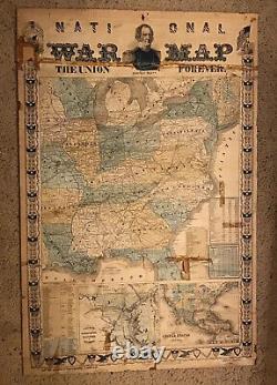
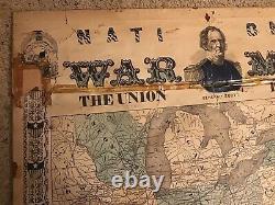
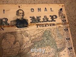
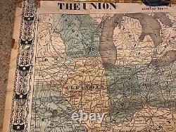
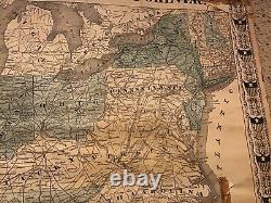
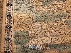
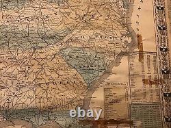
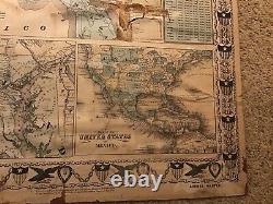
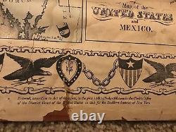
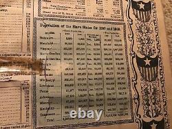
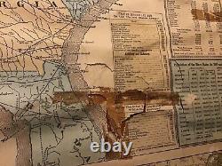


1861 NATIONAL WAR MAP THE UNION FOREVER Phelps & Watson Gen Scott CIVIL WAR. Measuring 23 X 35" this is an original 1861 "National War Map published by Phelps & Watson. Features General Winfield Scott and says "The Union Forever".
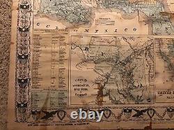
Shows most of the states east of the Mississippi. Has smaller inset maps of The Vicinity of Washington and Maryland, and The United States and Mexico.
Has statistics and info listed- Principal Forts and Military Stations in the United States Dept of the East and West, Pay of Officers and Men in the US Army, Square Miles and Population (separated by Free and Slave States and Territories), and Population of the Slave States for 1850 and 1860. I have seen later Civil War related maps by Phelps and Watson but couldn't find another copy of this particular one. I'm sure this isn't the only one; I just couldn't find one. CONDITION: the map IS AFFIXED to some kind of paper board- the board feels like the thickness of poster board. This was not done recently. It has some old scotch tape stains- most of the tape was removed safely but the stains remain of course. The strip along the top was NOT removed as quite a bit of it is still has paper that is stuck to it and it will not simply lift off. Has some small tears here and there and a couple small sections are present but separated (mainly the tape stained piece to the right of Florida). Small section at the upper left is missing (blank paper area to the left of the W). Some light water marks near the bottom. Please look at the pics closely- Although this map does have condition issues it is almost completely intact. A poster restoration company could repair much of the things listed here and make it look really nice should you desire. This will be mailed flat.
